Montreal Maps
The following are interactive Montreal maps to help you find hotels, restaurants and attractions for your Montreal trip or vacation. These maps are free, downloadable and printable. Our list of Montreal maps includes high resolution printable maps for getting around Montreal as well as interactive maps with Google’s street view technology to help you view neighborhoods, hotels, street names, building names, sites of interest, and attractions.
-

 80.6KMontreal Maps
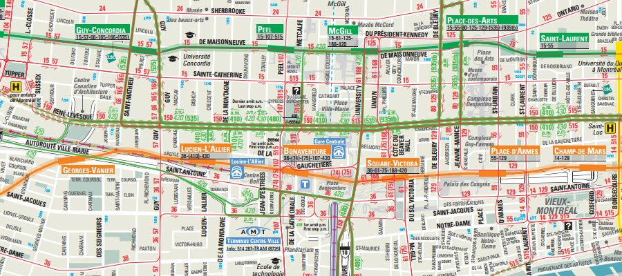
Downtown Montreal Map
The downtown Montreal map is a PDF file that outlines the important streets, attractions and landmarks of Montreal's downtown core.
-
-

 50.6KMontreal Interactive Maps
Montreal Attractions Map
The following is the Montreal attractions map. You can select an attraction by using the drop-down box or by moving the mouse...
-

 6.5KMontreal Maps
Montreal Bicycle Paths Network Map
The following is the Montreal Bicycle Paths Network Map. This map is a PDF file outlining the entire bicycle paths network of...
-
 10.8KMontreal Interactive Maps
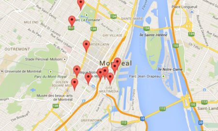
Montreal Hotels Map
The following is the Montreal hotels map. Choices vary between luxury hotels, mid-range hotels and budget hotels. You can select a hotel...
-

 92.5KMontreal Maps
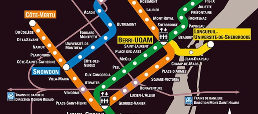
Montreal Metro Map
The following is an image of the Montreal Metro map. The Metro, which is Montreal’s extremely well-run and safe subway system, offers...
-
 14.5K1Montreal Interactive Maps
Montreal Searchable Map
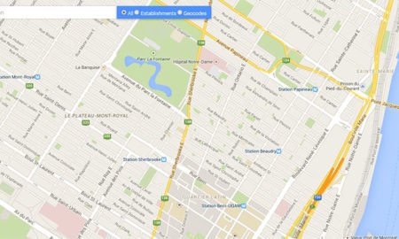
Use the search box embedded in the bottom-left corner of the map to search for addresses and businesses within New York City...
-

 106.3KMontreal Maps
Montreal underground City Map
The Montreal underground City Map outlines the entire underground city of Montreal also known as RESO . Montreal's underground city is one...
-

 255.8K12Featured
Montreal’s RESO Network Map (Underground City Map)
Montreal's RESO Network is also known as the Underground City and in French as La Ville Souterraine. Below is a map of...
-

 12.7KMontreal Maps
Montreal’s Transportation Network Map
Montreal's Transportation Network map outlines the entire public transportation network of Montreal and surrounding area. It is provided courtesy of the stm.

